| GreekMaps
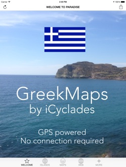
This Cyclades Guide is made by travelers for travelers. It shows you where you are and what is around you, with relief maps you can use without connection and many links to additional online information.
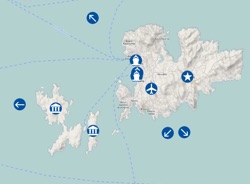
The global map of the Cyclades triggers relief maps of each inhabited island, displaying main settlements, roads, contour lines, various hiking trails and, where appropriate, neighboring desert islands.
Featured islands: Mykonos and Delos, Thira and Thirassia (Santorini), Paros and Antiparos, Naxos and the Little Cyclades (Iraklia, Schinoussa, Koufonissia, Donoussa), Amorgos, Andros, Tinos, Milos and Kimolos, Sifnos, Anafi, Folegandros, Ios, Kea (Tzia), Kythnos, Serifos, Sikinos, Syros, Keros and Despotiko.
Online informations, powered by our mobile website cyclades.mobi, feature useful links that round out this overview of the Cyclades.
The maps are embedded in the app and don't require a connection. You just have to allow the location services in your privacy settings and the GPS will do the job. This app is a perfect companion for hikers or if you rent a car to visit the islands!
On first launch, the app asks you to allow the use of your current location. These informations are used only to localize your device with GPS. They don't know who you are and what you are doing, your privacy is totally preserved.
GreekMaps is interlinked with the other guides of the collection: as soon as another guide is installed in your device, you can switch to it in the blink of an eye, without quitting this one. No connection is required to jump from one app to the other. Apps available: iCyclades, iParos, iAntiparos, iSyros, iNaxos, iSantorini, iMykonos, iAndros, iTinos, iSifnos, Milos, and iAmorgos.
Just install the free apps you need and enjoy your stay! |


|
 

|